.avif)

KEY TAKEAWAY
Many of DC’s small triangular parks are a direct result of the city’s original street plan. L’Enfant overlaid diagonal avenues on a regular grid, creating unusual intersections and leftover spaces that have become a distinctive part of Washington’s public realm.
Why All the Triangles?
Washington has a lot of triangles.
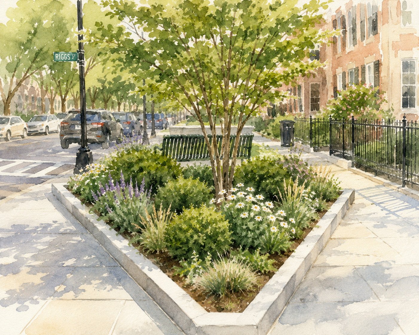
Some are small parks with a bench and a few trees. Others are landscaped traffic islands, oddly shaped blocks, or little wedges of public space you might pass every day without giving much thought to why they’re there.
They can look like leftover spaces in the street network. But many are the result of one of Washington’s most recognizable planning features: the diagonal avenues laid over the city’s street grid more than 230 years ago.
And they offer a fun way to see how a planning decision made on paper can continue to shape a city centuries later.
It Starts With L’Enfant
In 1791, George Washington selected Pierre Charles L’Enfant to develop a plan for the new capital. Instead of relying on a traditional street grid alone, L’Enfant overlaid broad diagonal avenues on a more regular network of north-south and east-west streets.
The avenues connected important civic buildings and public spaces and created long views through the city. Pennsylvania Avenue, for example, provided a direct connection between the Capitol and the President’s House. The basic framework of L’Enfant’s plan still defines much of Washington’s urban form today, according to the National Capital Planning Commission.
The original L’Enfant Plan at the Library of Congress is worth a look. Even more than two centuries later, you’ll recognize Washington in it.
But there was an interesting side effect to all those diagonal avenues.
Lay diagonal streets across a rectangular grid and you’re going to create some triangles. A lot of them.
“What looks like a leftover scrap of land may actually tell you quite a bit about how Washington developed.”
What Happens to All That Leftover Space?
Where diagonal avenues cross the regular street grid, they create unusual intersections and oddly shaped pieces of land. Some became prominent circles and squares. Others became the much smaller triangular parks scattered throughout the city.
The CapitalSpace Plan, prepared by the National Capital Planning Commission, National Park Service, and DC government, describes these small parks as a distinctive feature of Washington’s urban fabric. Within the L’Enfant Plan, triangle parks typically appear where diagonal and regular streets intersect.
But they didn’t all become parks right away. Many of the smaller open spaces remained fairly undefined while Washington was developing. As streets, curbs, utilities, and neighborhoods were built during the nineteenth century, more of these spaces began to take shape as landscaped parks. Later planning efforts extended the same idea beyond the original L’Enfant City, creating additional small parks where diagonal and regular streets met.
So what looks like a leftover scrap of land may actually tell you quite a bit about how Washington developed.
Small Spaces Can Still Matter
Some of these triangles are undeniably awkward. They’re too small for a playground or ball field. Their unusual dimensions can make them difficult to use. Some sit in the middle of complicated intersections. And those same diagonal streets can create some pretty unusual development sites.
But a park doesn’t have to be large to be useful.
A small triangle can provide a few trees, landscaping, a bench, public art, or simply a little breathing room between buildings and streets. It can make an intersection more pleasant to walk through or give a neighborhood a small gathering place.
There are roughly 550 small parks of less than one acre throughout Washington, according to the CapitalSpace Plan. They serve all sorts of purposes—from pocket parks and traffic circles to places for memorials and neighborhood gathering.
Individually, some are easy to overlook. Together, they’re an important part of Washington’s public space network.
APPLIED GUIDANCE
The Next Time You’re Walking Through DC...
The regular grid makes Washington relatively easy to understand. Numbered streets generally run north-south. Lettered streets generally run east-west. Then a diagonal avenue cuts across them.
Suddenly, the blocks change shape. An unusual intersection appears. A building has to respond to an angled lot. A little park fills the space between streets. Or a long view opens toward an important building or public space.
That wasn’t accidental. L’Enfant used avenues, open spaces, and views as part of the basic structure of the capital. NCPC’s history of the plan notes that important civic buildings were placed on prominent sites and connected by grand avenues with long, sweeping views.
More than 230 years later, that framework is still easy to see. You just have to know what you’re looking for.
1. Follow a diagonal avenue
Notice what happens when one of the state-named avenues crosses the numbered and lettered streets.
2. Look at the blocks and buildings
Watch how their shapes change where the diagonal meets the regular grid.
3. Find the small parks
Some are obvious gathering places. Others are tiny spaces you may have passed dozens of times.
4. Look down the avenue
There may be a reason the view seems to lead somewhere.
WHAT THIS MEANS FOR YOUR PROJECT
The triangle parks are a useful reminder that a property is never completely separate from the larger city around it. Street patterns shape blocks, blocks shape development sites, and public spaces influence how people move through and experience a place. Understanding that larger context can be just as important as understanding the rules that apply to an individual site.
THE PLANNING TAKEAWAY
We often experience cities one property, building, or street at a time. But those individual places are shaped by a larger framework. Streets determine the shape of blocks. Blocks influence buildings and development sites. Intersections can create public spaces. And the way all of those pieces fit together affects how we move through and experience a city.
DC’s triangle parks are a small—and particularly visible—example.
What looks like an odd little piece of leftover land is often part of a much bigger planning story.
.avif)
.avif)